


AUCKLAND: SOUTH AUCKLAND
|
16-Dec-12 | return to location list print |
Tapapakanga Regional Park

Deery Road, Orere Point, Auckland
rvexplorer id: 17411
Lat-Long: -36.97438, 175.25496
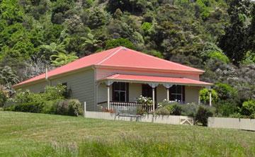
Orere Point Farmhouse
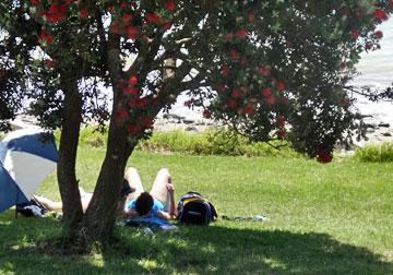
Sunbathing under a pohutukawa tree in flower
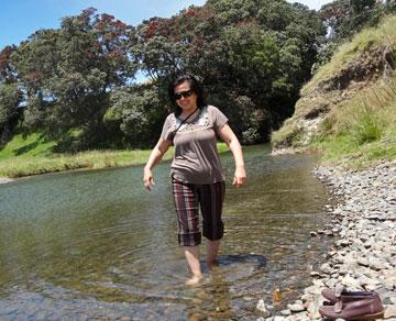
Navigating the fresh water stream
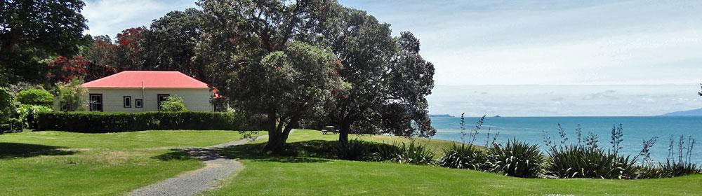
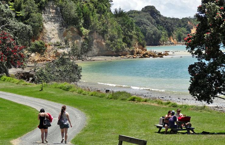
Tapapakanga Regional Park at Orere Point is yet another one of Aucklands stunning locations. About an hours drive south-east from Auckland city, the park is a little out of the way, but popular none-the-less. With council managed camp grounds, it is a prime location for motor caravanners to enjoy.
The beach is white sand, but quite stony, which makes it interesting to walk along, fossicking for whatever you might find. And, at the far end, you will find a fresh water pool that is formed by a stream running down from the hills.
The house on the property is the original Ashby homestead, built by James Asby and his wife, Rebecca, in 1900. The Auckland Regional Council purchased much of the land from the Ashby descendants in 1990, and opened the park in 1995.
There are four tracks to explore, taking from about 30 minutes to 2 hours.
Unfortunately, the beachfront campsite is not suitable for vehicles, but there are three other designated areas for motorhomes and caravans.
Check the Auckland Council website for more information, and to make a booking.
UPDATE: 25-Dec-2014
We called in on a hot, sunny Christmas Day to find the carpark really full, with lots of farmilies having picnics along the beach, as well as those staying in the beachfront campsite.
We checked out the upper campsite, which has a large level grass area and overlooks the bay.
There is a long-drop toilet if needed.
Comments